Hurricane and Storm Surge Watches Issued for Gulf Coast as Isaias Strengthens Toward Saturday Landfall
Hurricane and storm surge watches now cover more than 450 miles of the northern Gulf Coast as Tropical Storm Isaias strengthens over the Gulf, with forecasters expecting a significant hurricane landfall early Saturday from Mississippi to the Florida Panhandle.
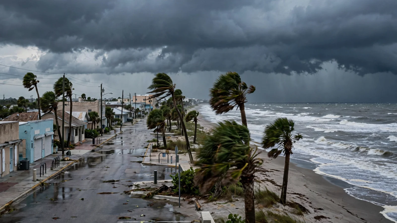
Hurricane and storm surge watches were posted Wednesday along more than 450 miles of the northern Gulf Coast as Tropical Storm Isaias strengthened over the Gulf of Mexico, with the National Hurricane Center expecting the system to reach hurricane strength by Thursday and make landfall early Saturday.
In its 11 a.m. bulletin on Oct. 7, the hurricane center placed Isaias about 540 miles south-southwest of the mouth of the Mississippi River, with maximum sustained winds near 45 mph, according to USA TODAY. The storm was moving east-northeast at about 8 mph, with a turn toward the northeast and north expected Thursday and Friday, passing north of the Yucatan Peninsula on Thursday before approaching the northern Gulf Coast on Friday.
Watches cover Mississippi, Alabama and the Florida Panhandle
A storm surge watch is in effect from the mouth of the Mississippi River eastward to Yankeetown, Florida, where forecasters say life-threatening inundation from water moving inland is possible within 48 hours, according to USA TODAY. A hurricane watch covers the coast from Bay St. Louis, Mississippi, to Indian Pass, Florida, while a tropical storm watch extends from the Jefferson/Plaquemines Parish line in Louisiana to just west of Bay St. Louis, and east of Indian Pass to the Aucilla River in Florida. Gulfport, Mississippi; Mobile, Alabama; and Pensacola, Florida, are all within the storm’s potential path.
Forecasters expect Isaias to intensify quickly over warm Gulf water, with winds possibly exceeding 100 mph by Friday as it nears the coast, USA TODAY reported. The center expects the storm to peak before landfall but still strike as a significant hurricane, most likely somewhere along the Mississippi, Alabama or Florida Panhandle coast around 1 a.m. Saturday, Oct. 10, before weakening sharply inland. Reuters reported that strong upper-level winds in the final day before landfall could take some strength off the storm, even as the hurricane center said a significant hurricane at the coast is looking more likely.
Heavy rain, surge and an offshore energy risk
Rainfall of 3 to 6 inches, with isolated totals up to 10 inches, is expected across the northern Gulf Coast from far southeastern Louisiana to the Florida Panhandle from Friday through the weekend, with 1 to 3 inches and locally up to 5 inches reaching inland across the Southeast toward the Tennessee Valley and the Carolinas, according to USA TODAY. Forecasters warned that flash and urban flooding, along with isolated river flooding, will be possible, and that storm surge can block normal drainage and add to flooding well east of where the center crosses.
The track also takes Isaias through offshore oil and gas production areas and near onshore refining facilities, which could pressure inventories and fuel prices, according to Reuters. A model forecast from Earth Science Associates cited by Reuters estimated about 11.2 million barrels of Gulf oil production could be lost over the duration of the storm, compared with 7.1 million barrels affected by Tropical Storm Bertha in July.
Reporting based on coverage by Reuters and USA TODAY.