Flash Flood Warning Issued in South Texas as Slow Storm Brings a Second Round of Heavy Rain
Heavy thunderstorms dropped up to 3 inches of rain on parts of Webb and Duval counties early Sunday, and forecasters warned a second, possibly heavier round would arrive Sunday night as flood watches stay in place through Monday morning.
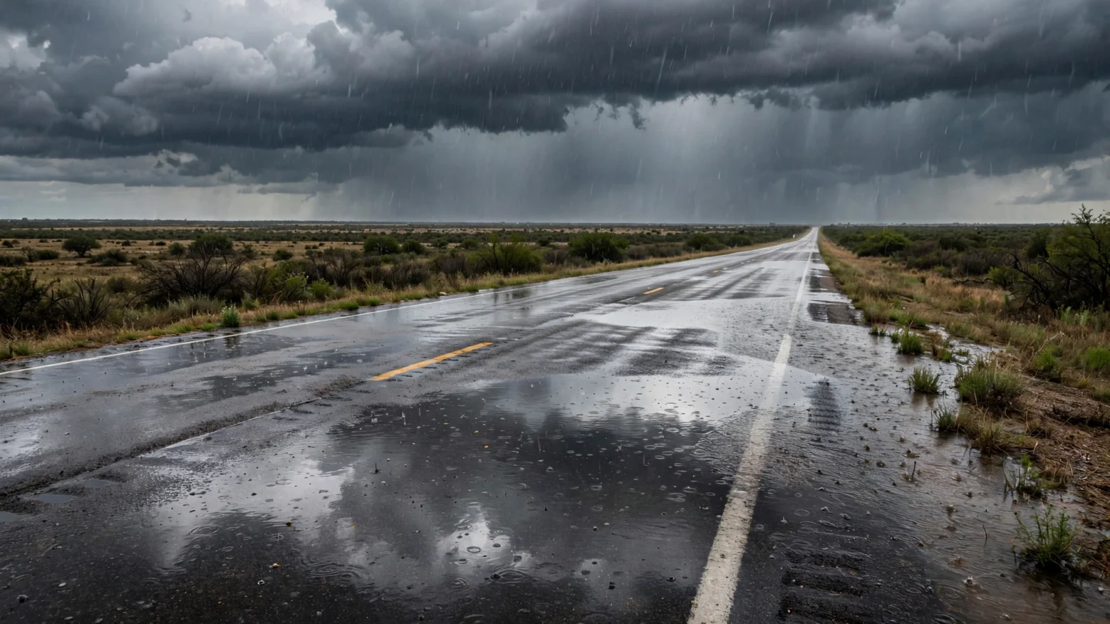
Heavy thunderstorms dropped 1 to 3 inches of rain on parts of Webb and Duval counties early Sunday, and the National Weather Service issued the first flash flood warning of a multiday South Texas rain event.
The weather service office in Corpus Christi issued the warning at 5:04 a.m. CST for southwestern Duval County and southeastern Webb County, in effect until 8 a.m. Radar and rain gauges showed thunderstorms producing heavy rain, with 2 to 4 more inches possible, the warning said. “Flash flooding is ongoing or expected to begin shortly,” the weather service said.
The warning named Oilton, Mirando City, Bruni, Aguilares and Ranchitos Las Lomas as places that would see flash flooding. It also covered U.S. Highway 59 between mile markers 790 and 816, the highway that runs east from Laredo toward Freer.
Watches in place through Monday morning
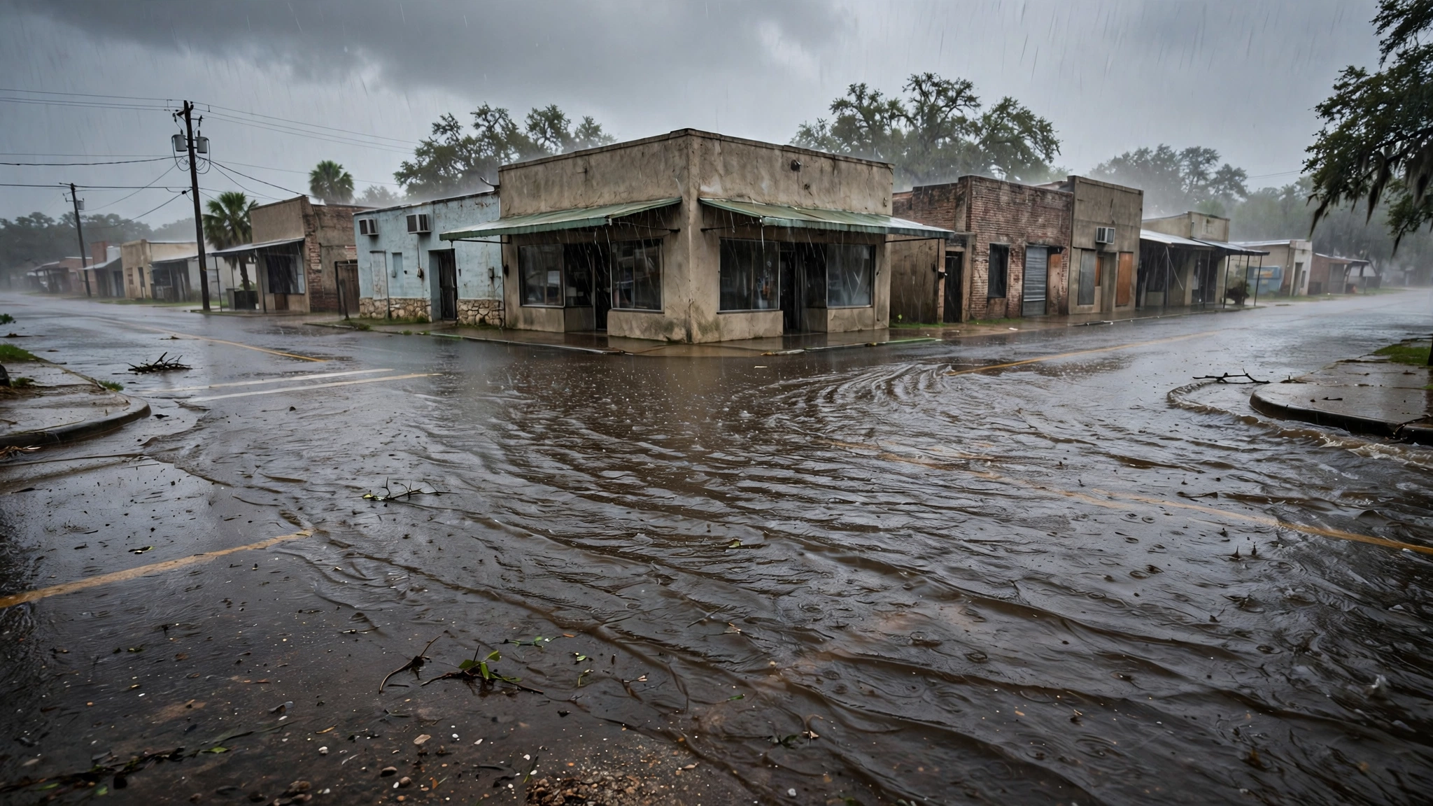
Flood watches were already in effect across the region before the warning. The Corpus Christi office first issued its watch Friday night, and in a 12:34 a.m. update Sunday said it remains in effect through Monday morning for 13 counties, including the barrier islands. The watch covers Laredo, Corpus Christi, Kingsville, Alice, Beeville, Rockport, Cotulla and Port Aransas.
“Widespread forecast rainfall amounts of 2-5 inches will be common across South Texas,” the update said. “Isolated amounts of 7 to 9 inches remains a possibility, especially in the vicinity of training and slow moving storms.”
The weather service office in Brownsville said there is potential for heavy rain in two windows, with rainfall rates that could reach 2 inches per hour for two hours. The first window was late Saturday night into early Sunday morning. The second is Sunday night through mid-morning Monday.
An El Niño pattern is driving the rain
Fox Weather reported that the storm is part of an El Niño pattern, in which the Pacific jet stream runs farther across the southern United States and steers storms into the region. The jet stream is now set directly over South Texas, pulling warm Pacific moisture into the state along with moisture from the Gulf.
A Level 2 flood threat, on a scale of 4, covers an area from San Antonio to Brownsville, with a Level 1 threat extending to San Angelo. The heaviest and most persistent rain is expected from Sunday afternoon through Sunday night, Fox Weather said.
The Weather Prediction Center kept a slight risk of excessive rainfall across south-central and South Texas in its 3:12 a.m. EST outlook Sunday, with rain rates of 1 to 2 inches per hour. The center said a targeted upgrade is possible depending on observed rainfall and flood reports.
The Corpus Christi office also issued a coastal flood advisory from noon Sunday to 3 a.m. Monday for Gulf-facing beaches and bays. Water levels could reach 2 to 2.5 feet above mean sea level at high tide Sunday and again Monday. Forecasters warned of a high rip current risk and said a small craft advisory is in effect through Sunday night, with seas building to 6 to 8 feet.
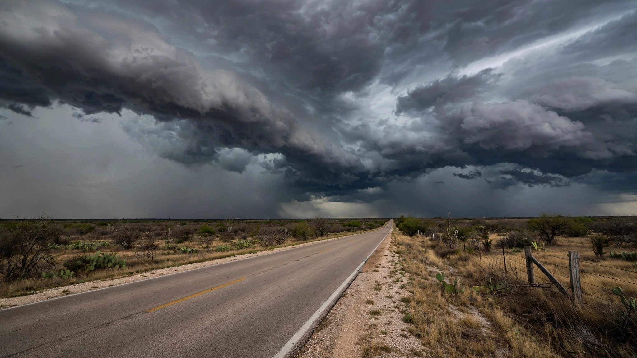
The rain is falling after a dry stretch. Laredo had received 1.51 inches of rain since Sept. 1 through Saturday, 4.19 inches below normal, according to the weather service’s daily climate report. Corpus Christi had 6.20 inches over that period, 2.93 inches below normal. The Brownsville office called the rain “beneficial” for most of the Rio Grande Valley.
As of early Sunday, the weather service had not issued any local storm reports of flooding damage or water rescues in the Corpus Christi or Brownsville areas. The weather service urged drivers to avoid flooded roads. “Turn around, don’t drown when encountering flooded roads. Most flood deaths occur in vehicles,” the flash flood warning said.
Reporting based on coverage by Weatherboy and Fox Weather.