Tropical Depression Nine Forms in Gulf, Forecast to Become Hurricane Isaias Before Gulf Coast Landfall
Tropical Depression Nine formed in the southwestern Gulf on Tuesday and is forecast to strengthen into Tropical Storm Isaias on Wednesday and a hurricane by Thursday, with a possible Category 2 landfall along the northern Gulf Coast this weekend.
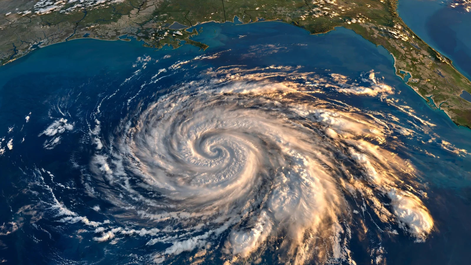
Tropical Depression Nine formed in the southwestern Gulf of Mexico on Tuesday afternoon, and the National Hurricane Center expects it to keep strengthening into the first hurricane of the 2026 Atlantic season, according to USA Today and the Naples Daily News.
At 5 p.m. ET on Tuesday, the center of the depression was located near latitude 22.1 North and longitude 95.6 West — roughly 380 miles west of Progreso, Mexico, and about 774 miles southwest of Pensacola, Florida — according to the Naples Daily News, citing the hurricane center. Maximum sustained winds were near 35 mph, the minimum central pressure was 1007 millibars, and the system was moving east at about 5 mph.
Forecast: a tropical storm Wednesday, a hurricane Thursday
Forecasters expect the depression to become Tropical Storm Isaias early Wednesday and reach hurricane strength on Thursday, according to the Naples Daily News. By Friday, as it approaches the U.S. northern Gulf Coast, the storm could reach Category 2 strength with maximum sustained winds of around 100 mph, the hurricane center said, though it cautioned that there is significant uncertainty in exactly where the system turns northeast and how fast it moves toward the coast.
An east to east-northeast motion is expected over the next couple of days, with a turn to the northeast anticipated by Friday, according to the report. On that track, the system would pass north of Mexico’s Yucatan Peninsula on Thursday and approach the northern Gulf Coast on Friday, with U.S. impacts most likely from Friday through Sunday.
Rain and flooding are the most certain threat
Even before its exact track is clear, forecasters say heavy rainfall is the most certain impact. According to USA Today, the hurricane center warned that heavy rain and flooding could affect parts of the northern Gulf Coast, the southeastern United States and Florida later this week and into the weekend, and that interests from the Florida Panhandle to Louisiana should closely monitor the system. WPLG-TV hurricane specialist Michael Lowry, writing in his Eye on the Tropics newsletter, said a heavy rain and flash flood threat is likely across a wide swath of the northern Gulf and Deep South, with double-digit rainfall totals possible in places, USA Today reported.
No storm watches or warnings had been issued as of 5 p.m. ET on Tuesday, according to the Naples Daily News, but forecasters urged Gulf Coast residents to review their hurricane plans. If the system reaches hurricane strength, it would be the first hurricane of the 2026 Atlantic season, which so far has produced eight tropical storms and no hurricanes — below the typical early-October tally, according to both reports.
Reporting based on coverage by USA Today and the Naples Daily News.