Hurricane Isaias Forecast to Briefly Reach Category 3 With 115 MPH Winds Before Gulf Coast Landfall Late Friday
Hurricane Isaias held at Category 2 with 105 mph winds early Friday but the National Hurricane Center forecast the storm to briefly strengthen to Category 3 at 115 mph before making landfall along the northern Gulf Coast late Friday or early Saturday, bringing life-threatening storm surge of 5 to 7 feet.
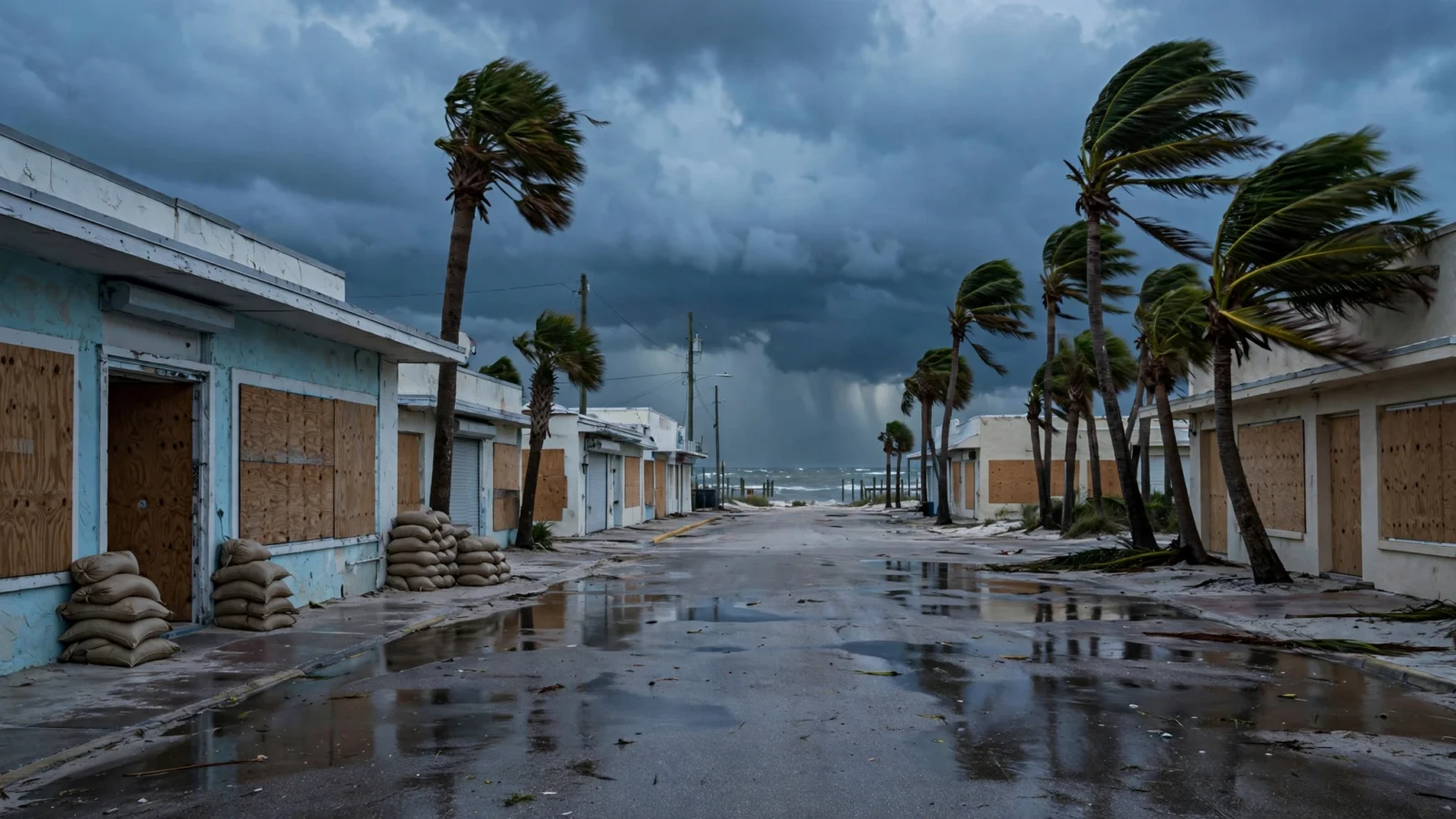
Hurricane Isaias remained a Category 2 storm early Friday but was forecast to briefly strengthen to Category 3 strength before reaching the northern Gulf Coast, according to the National Hurricane Center and reporting by the Associated Press via NPR and the Pensacola News Journal.
In its 2 a.m. ET intermediate advisory, the hurricane center placed Isaias about 260 miles south of the mouth of the Mississippi River, moving northeast at 14 mph with maximum sustained winds of 105 mph, according to the Associated Press. The center’s forecast called for winds to peak around 115 mph over the next 12 hours, just above the 111 mph threshold for a Category 3, or major, hurricane, before increasing wind shear weakens the storm somewhat ahead of landfall, according to the Pensacola News Journal.
A hurricane warning remained in effect from Ocean Springs, Mississippi, to the Bay-Gulf County line in Florida, and a storm surge warning covered the coast from the mouth of the Mississippi River to the Suwannee River in Florida, according to the hurricane center. Forecasters said water could reach 5 to 7 feet above ground from Dauphin Island, Alabama, to Indian Pass, Florida, if peak surge coincides with high tide, with 4 to 6 feet possible in Mobile Bay and from Ocean Springs to Dauphin Island, according to the hurricane center’s advisory. Rainfall of 4 to 8 inches was expected across southern Alabama, the Florida Panhandle and southwest Georgia, with localized totals up to 15 inches possible, according to the advisory.
Evacuations, closures and oil shutdowns expand ahead of landfall
Coastal preparations accelerated Thursday and overnight. Alabama officials ordered non-residents to evacuate Gulf Shores, Orange Beach and Dauphin Island, according to the Associated Press, while Escambia and Santa Rosa counties in Florida issued evacuation orders for zones A and B, according to the Pensacola News Journal. Florida Gov. Ron DeSantis had declared a state of emergency in 25 North Florida counties, and about 5,000 National Guard troops were expected to mobilize by Friday, according to the Associated Press. The Pensacola airport was set to close to commercial flights Friday morning, and the Emerald Coast Utilities Authority said it would cut water and sewer service to Pensacola Beach at 3 p.m. Friday after evacuations, according to the News Journal.
Offshore energy operations were also sharply curtailed. About 63% of oil production in the Gulf had been temporarily halted as of Thursday, taking nearly 1.3 million barrels a day off the market, according to figures from the Marine Minerals Administration cited by the Associated Press. The agency said 121 of the Gulf’s 371 manned platforms had been evacuated, according to the Associated Press. Isaias is the first hurricane of the 2026 Atlantic season and formed unusually late, more than four months into the season, according to the Associated Press.
Reporting based on coverage by the Associated Press via NPR, the Pensacola News Journal and the National Hurricane Center.