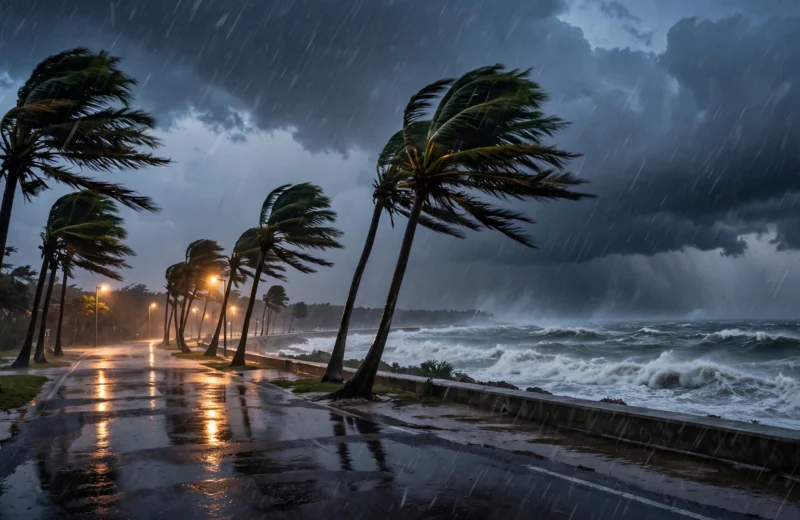
Hurricane Isaias Makes Landfall at Destin, Florida, With 105 MPH Winds, NHC Says
Hurricane Isaias came ashore near Destin on Friday night as a Category 2 storm, bringing life-threatening storm surge, hurricane-force winds inland and more than 250,000 power outages across the Florida Panhandle, according to the National Hurricane Center.
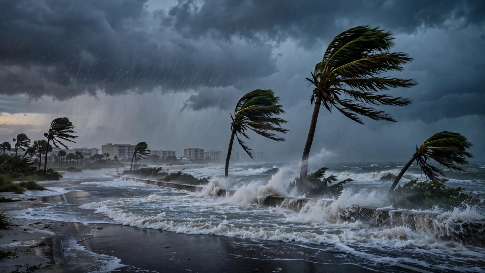
Hurricane Isaias made landfall near Destin, Florida, on Friday night as a strong Category 2 storm with sustained winds of 105 mph, according to the National Hurricane Center.
The center came ashore around 8:30 p.m. CT about 40 miles east of Pensacola, the hurricane center said in its evening updates carried by the Pensacola News Journal. Forecasters warned that impacts would extend well east of the center, with life-threatening storm surge and flooding possible along the Gulf Coast.
A station near Santa Rosa Sound recorded a 116 mph gust with sustained winds of 91 mph, and a gauge at Panama City Beach measured water about 5.6 feet above mean higher high water, the reports said. Escambia County had more than 110,000 outages before the eyewall reached shore, and Florida Power & Light reported more than 250,000 customers without power as of 9:15 p.m. CT.
Weakening inland, but hazards continue
By 10 p.m. CT, Isaias was about 45 miles east-northeast of Pensacola and 65 miles northwest of Panama City, with maximum sustained winds down to 90 mph and the center moving north at 20 mph, according to the NHC. The storm is expected to move across Alabama and into the Tennessee Valley on Saturday and Sunday, weakening further and becoming post-tropical, while still producing gusty winds well inland.
A Storm Surge Warning remained in effect from Dauphin Island, Alabama, to the Suwannee River, a Hurricane Warning from the Mississippi-Alabama border to the Bay/Gulf County Line in Florida, and a Tropical Storm Warning east of there to the Aucilla River, the NHC said. Surge of 3 to 5 feet above ground was expected from Dauphin Island to the Aucilla River if peak surge coincided with high tide, with 4 to 8 inches of rain forecast across southern Alabama, the Florida Panhandle and Big Bend and southwestern Georgia, and localized totals up to 15 inches possible.
Officials also warned of a continued tornado risk overnight across the Florida Panhandle into southern Georgia, spreading into parts of the Southeast on Saturday, and said hurricane-force winds could reach as far as 100 miles inland into southern Alabama. Florida Gov. Ron DeSantis had expanded a state of emergency to 27 North Florida counties on Oct. 8 ahead of the storm.
Reporting based on coverage by Pensacola News Journal and the National Hurricane Center.