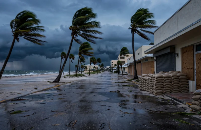
Isaias Becomes First Atlantic Hurricane of 2026 as Warnings Cover Northern Gulf Coast
Isaias strengthened to a Category 1 hurricane late Wednesday with 75 mph winds about 460 miles south-southwest of the mouth of the Mississippi River, prompting hurricane and storm surge warnings from Mississippi to Florida ahead of an expected Friday night landfall near Category 2 strength.
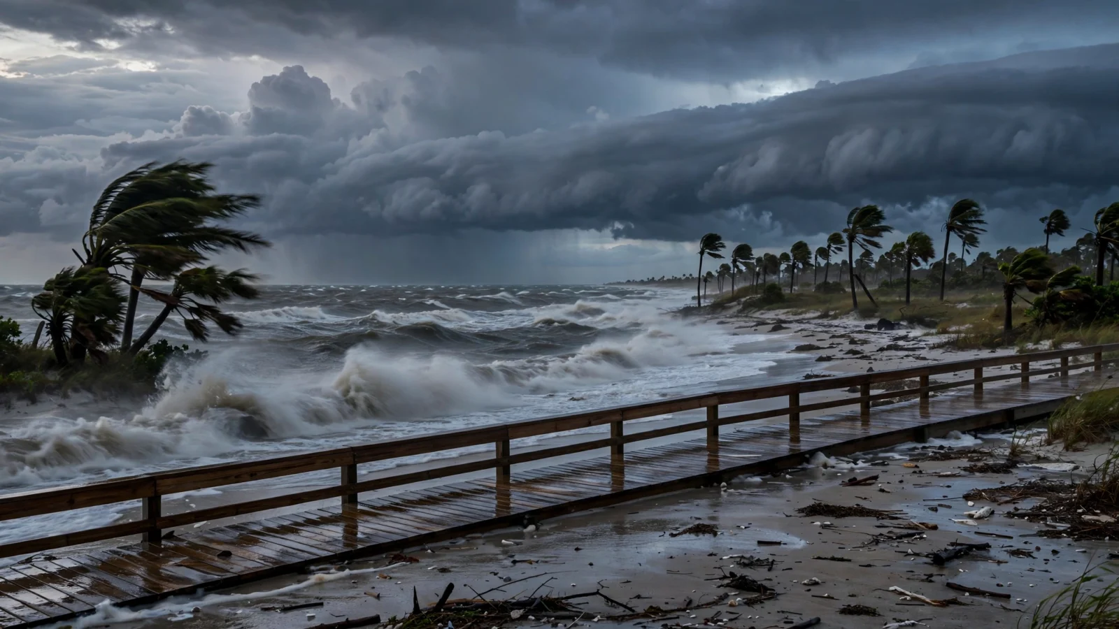
Isaias strengthened into a Category 1 hurricane late Wednesday, becoming the first hurricane of the 2026 Atlantic season as the National Hurricane Center placed the northern Gulf Coast under hurricane and storm surge warnings ahead of an expected landfall late Friday or early Saturday.
Hurricane hunter aircraft confirmed the storm had reached maximum sustained winds of 75 mph, according to CNN. As of 11:30 p.m. ET, Isaias was about 460 miles south-southwest of the mouth of the Mississippi River, according to USA Today, less than 20 hours after it became a tropical storm and as the season’s ninth named storm.
Warnings replace watches as forecast points to Category 2
A hurricane warning is now in effect from Ocean Springs, Mississippi, to Florida’s Bay-Gulf County line, including the Alabama coast, according to The Weather Channel and CNN. A storm surge warning stretches from the mouth of the Mississippi River to the Steinhatchee River in Florida, with a storm surge watch extending south to Yankeetown, Florida, according to the hurricane center reports cited by those outlets.
Forecasters expect Isaias to move east-northeast for another day before turning north toward the coast and strengthening further. The storm could reach Category 2 strength with 110 mph winds by early Friday before weakening slightly ahead of landfall somewhere from the Mississippi coast to the western Florida Panhandle, according to CNN and USA Today.
The National Hurricane Center said 5 to 7 feet of inundation above ground level is possible from Ocean Springs, Mississippi, to Indian Pass, Florida, including Mobile Bay, if peak surge coincides with high tide, according to CNN. Rainfall of 3 to 7 inches is expected along the coast with localized totals up to 10 inches, with impacts spreading inland across the Southeast this weekend, according to The Weather Channel.
Evacuations, emergency declarations and Gulf shutdowns
Florida Gov. Ron DeSantis declared a state of emergency for 25 northern Florida counties on Tuesday, and Alabama Gov. Kay Ivey declared an emergency for 40 counties on Wednesday, according to CNN. Mandatory evacuations were ordered for coastal parts of Okaloosa County starting at noon Thursday, with visitors told to leave Wednesday evening, and Gulf County ordered RV evacuations at three parks, according to CNN.
Shell and Chevron said Wednesday they were evacuating workers and shutting in production at facilities in the Gulf of Mexico ahead of the storm, according to USA Today. The National Hurricane Center director said Wednesday the coast faces “multiple dangerous, life-threatening impacts” on Friday, according to USA Today, including storm surge, heavy rain, flooding and hurricane-force winds.
Reporting based on coverage by USA Today, CNN and The Weather Channel.