Okaloosa County Orders Mandatory Evacuations as Isaias Strengthens to 65 MPH Toward Gulf Landfall
Tropical Storm Isaias reached 65 mph Wednesday evening and is forecast to become a Category 2 hurricane before landfall late Friday or early Saturday, prompting mandatory evacuations in Okaloosa County and emergency declarations in Florida and Alabama.
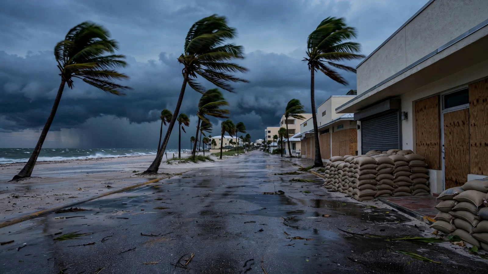
Okaloosa County ordered mandatory evacuations for coastal Zones A and B starting at noon Thursday as Tropical Storm Isaias strengthened to 65 mph in the Gulf on Wednesday evening, with forecasters expecting it to become a hurricane by Thursday morning and reach Category 2 strength before landfall late Friday or early Saturday.
County officials asked all out-of-town visitors to leave the forecast impact area beginning at 8 p.m. Wednesday. The mandatory order covers Okaloosa Island and coastal parts of Fort Walton Beach, Destin, Mary Esther and Niceville, according to the county.
The National Hurricane Center said Isaias was moving east-northeast at 8 mph with a minimum central pressure of 994 millibars, based in part on NOAA Hurricane Hunter aircraft data. Winds are forecast to climb to 110 mph within 48 hours. A Hurricane Watch is in effect from Bay St. Louis, Mississippi, to Indian Pass, Florida, and a Storm Surge Watch runs from the mouth of the Mississippi River to Yankeetown, Florida.
Surge, rain and tornado risks rise along the northern Gulf Coast
Forecasters warned of life-threatening storm surge of 5 to 7 feet above ground from Ocean Springs, Mississippi, to Indian Pass, Florida, including Mobile Bay, if the peak surge coincides with high tide. Areas farther east, from Indian Pass to the Steinhatchee River, could see 4 to 6 feet. Rainfall of 3 to 7 inches, with localized totals up to 10 inches, is expected from far southeastern Louisiana to the Florida Panhandle from Friday through the weekend, with flash and urban flooding possible. The tornado risk is also expected to increase Friday evening and overnight as rain bands reach the northeastern Gulf Coast.
Florida Gov. Ron DeSantis declared a state of emergency on Oct. 6 for 25 North Florida counties, from Escambia to Baker. In Alabama, Gov. Kay Ivey issued a state of emergency for 40 counties effective Wednesday afternoon, activating the state emergency operations plan and directing the Alabama National Guard and state agencies to prepare. National Hurricane Center Director Mike Brennan warned of multiple dangerous, life-threatening impacts along portions of the northern Gulf Coast on Friday, according to the Montgomery Advertiser.
Reporting based on coverage by the Pensacola News Journal and USA TODAY Network, and the Montgomery Advertiser.