Tropical Storm Isaias Forms in Gulf, Forecast to Become Category 2 Hurricane Before Landfall Late Friday
Tropical Storm Isaias formed in the southwestern Gulf early Wednesday and is forecast to become the Atlantic season's first hurricane, strengthening to Category 2 before a late-Friday landfall between Louisiana and the Florida Panhandle. Florida has declared an emergency in 25 counties.
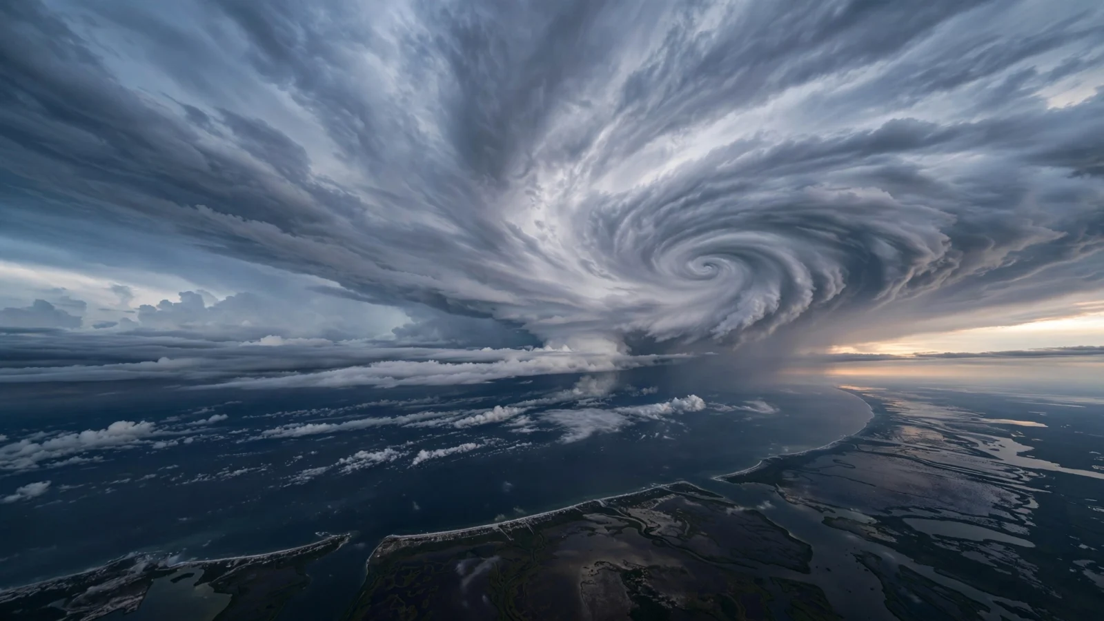
Tropical Storm Isaias formed in the southwestern Gulf of Mexico early Wednesday, as the National Hurricane Center upgraded the system previously tracked as Tropical Depression Nine. The storm carried sustained winds of 40 mph and sat roughly 600 miles south of the mouth of the Mississippi River, moving east-northeast, according to the hurricane center.
Forecasters expect Isaias to become the first hurricane of the Atlantic season on Thursday and to strengthen into a Category 2 storm by Friday, with maximum winds that could reach about 110 mph. Landfall is expected late Friday into early Saturday somewhere along the northern Gulf Coast, on a track running from Louisiana toward the Florida Panhandle and Big Bend. If the forecast holds, Isaias would be the first hurricane to make landfall in the United States since Milton struck Florida in 2024.
The system began as Tropical Depression Nine on Tuesday, when forecasters warned it could strengthen quickly over the warm waters of the southwestern Gulf.
Florida declares emergency in 25 counties
Florida Gov. Ron DeSantis declared a state of emergency late Tuesday covering 25 counties, from Escambia County in the western Panhandle into the Big Bend region. The governor urged residents to speed up preparations, and state emergency teams began staging generators, fuel, food, water and flood barriers around Tallahassee and Santa Rosa ahead of the storm.
Forecasters say the storm could bring storm surge from Pensacola Beach through the Big Bend, damaging winds and flooding rainfall, with the heaviest rain expected from Friday into the weekend. Totals of 3 to 6 inches are forecast from southern Louisiana to the Florida Panhandle, with localized amounts up to 10 inches possible. The Storm Prediction Center also placed about 1.9 million people from eastern Louisiana through Panama City under a slight risk of severe thunderstorms on Saturday, including the possibility of tornadoes spun up by the storm’s outer rainbands.
Energy companies pull workers from Gulf platforms
Oil and gas operators in the Gulf began pulling people back ahead of the storm. Shell said it was evacuating nonessential personnel from six offshore platforms, while BP said it was removing nonessential workers and securing its offshore facilities, according to the companies.
Forecasters cautioned that the storm’s exact track and strength near the coast remain uncertain. A stronger storm would be steered by winds higher in the atmosphere and could follow a different path than a weaker one, and the system is expected to encounter less favorable wind conditions as it nears the northern Gulf Coast. Its relatively quick forward speed may limit that weakening, forecasters said. Residents from Louisiana to Florida’s Big Bend were urged to monitor forecast updates closely through the week.
Reporting based on coverage by CNN and the Palm Beach Post.